– October 11, 2023 –
INTERGEO Expo Live Stream: Maritime Geodata Panels
Sign up for free and tune in the Intergeo Live Stream from Berlin on Maritime Geodata
The Live Stream Begins In...
00
days
00
hours
00
minutes
00
seconds
WED. 11.10.2023 / 10:00 – 11:30
Maritime Geodata Panel - In cooperation with Marispace-X
UNLEASHING THE BLUE DATA ECONOMY: NAVIGATING OPPORTUNITIES & POLITICAL STRATEGIES FOR EUROPE'S FUTURE
In an era where data is hailed as the new gold, a revolutionary economic frontier is emerging - the Blue Data Economy.
In their presentations and discussion, our experts will delve into the core of the Blue Data Economy - an ecosystem built upon the ocean of information generated by maritime activities, satellite imagery, and underwater sensors.
The panel will shed light on the prospects of data-driven innovations, smarter resource management, and sustainable solutions. Join us in unraveling how businesses, governments, and academia can forge meaningful collaborations to unlock the full potential of Blue Data.
However, charting this unexplored territory requires strategic political initiatives. What are the vital political steps necessary to create a nurturing environment for the Blue Data Economy's growth in Germany and Europe? We explore how policymakers can foster data privacy, incentivize investments, and empower local industries to spearhead global leadership.
Prepare to embark on a journey of ideas, insights, and inspirations as we envision the future of the Blue Data Economy. "Charting the Course" will leave you equipped with fresh perspectives, actionable strategies, and a profound understanding of how the Blue Data Economy is set to shape the destiny of Europe's economic landscape.
Pannel Speakers
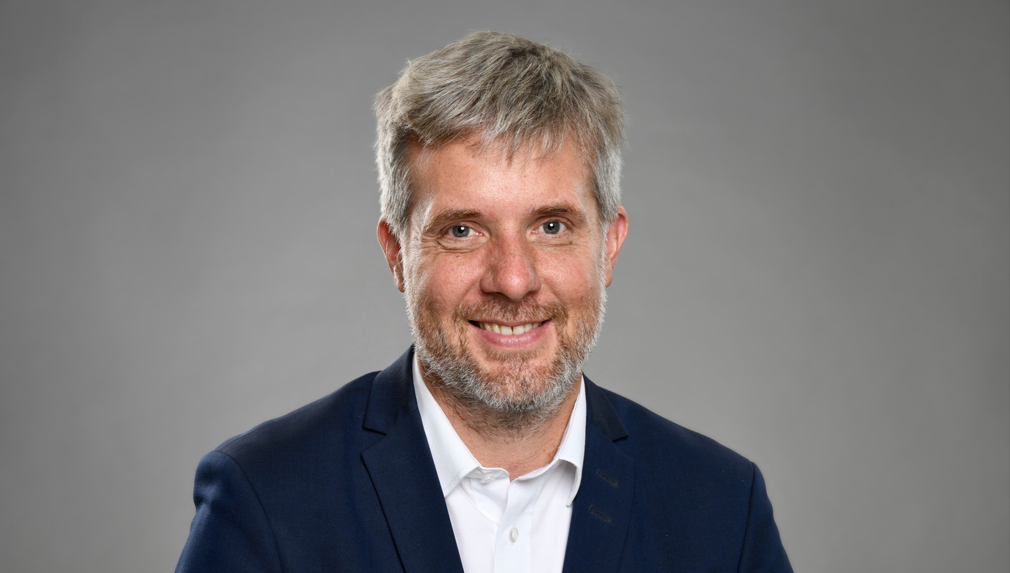
Dieter Janecek
Federal Ministry for Economics and Climate Action | BMWK, Maritime Coordinator
Dieter Janecek is a Member of the German Bundestag and currently serves as Federal Government Coordinator for the Maritime Economy and Tourism since January 18, 2023. Throughout the 20th legislative term, he held the role of Spokesman for Economic Policy and actively engaged in key committees including Economic Affairs, Climate & Energy, and Education. In the subsequent 19th legislative term, he adeptly advanced Industrial Policy and Digital Economy, representing the Bündnis 90/Die Grünen parliamentary group in the Digital Agenda Committee and chairing the Committee on Economic Affairs and Energy.
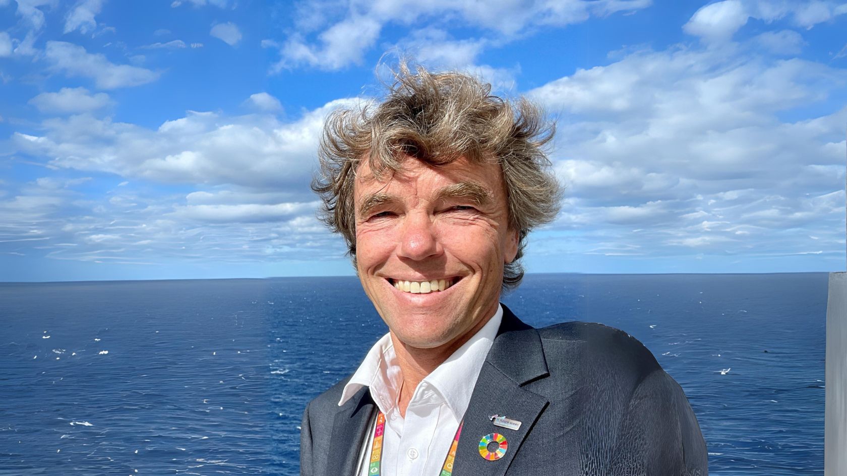
Prof Dr. Martin Visbeck
GEOMAR Helmholtz-Centre for Ocean Research Kiel, Head of Research Unit Physical Oceanography
Martin Visbeck is head of research unit Physical Oceanography at GEOMAR Helmholtz Centre for Ocean Research Kiel and professor at Kiel University, Germany. His research interests revolve around ocean’s role in the climate system, ocean circulation, upwelling systems, integrated global ocean observation, digital-twins of the ocean and the ocean dimension of sustainable development. He is deeply involved in the UN Decade of Ocean Science for Sustainable Development (2021-2030) and promoting sustained ocean observations and Digital Twins of the ocean.
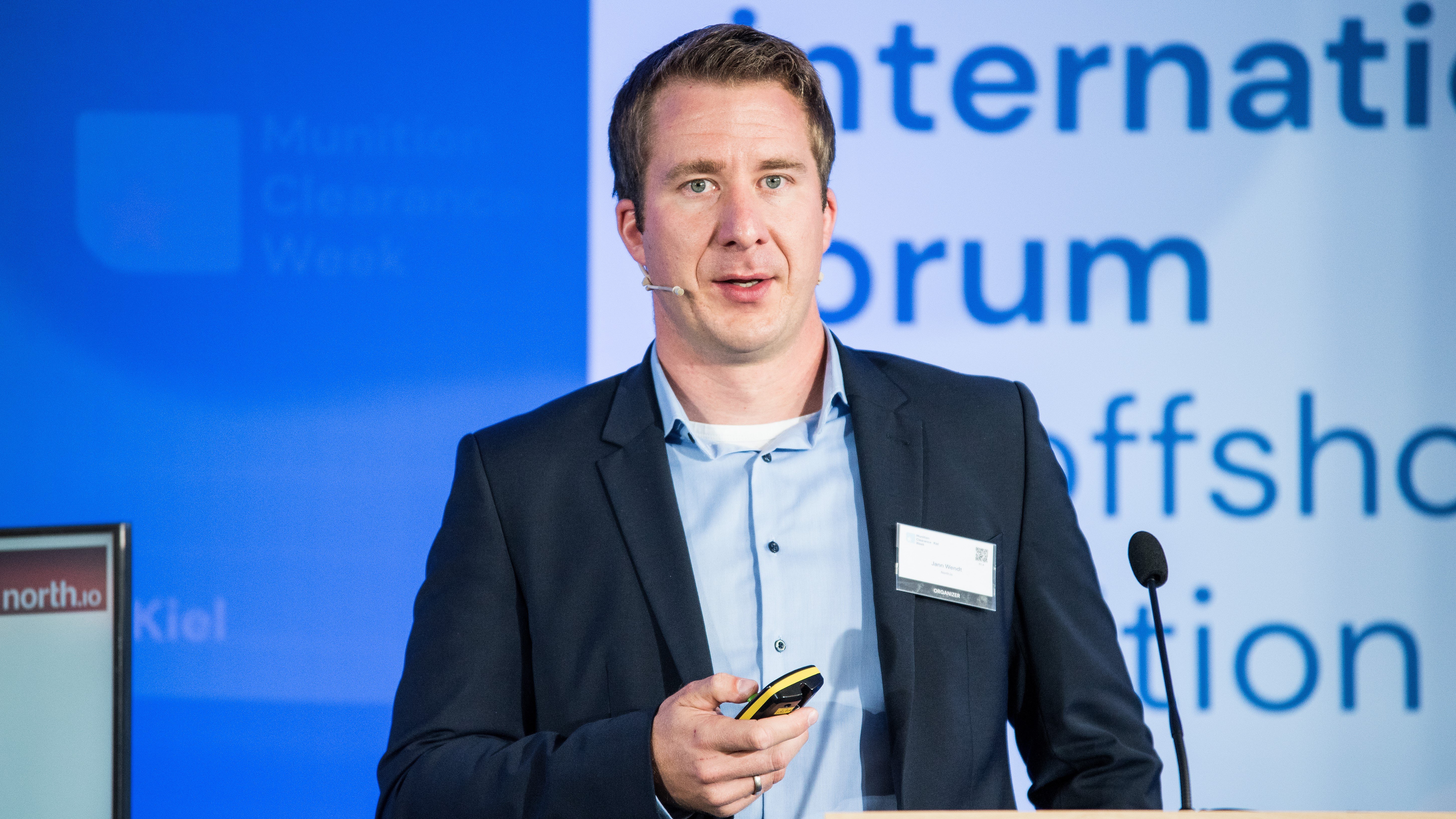
Jann Wendt
north.io GmbH, CEO & Marispace-X Initiator
Jann Wendt is a geoinformatician, founder and entrepreneur from Kiel. Through his company north.io, he uses technology to address the issues of climate change, energy transition and digital transformation. To make sense of the sheer size of the land masses and oceans, Jann and his team have developed a software solution that uses geo-information to make the world understandable. He has initiated numerous projects with the German Federal Ministry of Economics and Climate Protection, GEOMAR and the Fraunhofer Institute, among others, focusing on climate change, environmental protection and digital transformation.
WED. 11.10.2023 / 11:30 – 12:30
MARITIME GEODATA SOLUTIONS PANEL
11:30AM
Synchronization of airborne photogrammetry, LiDAR, and bathymetry surveying for coastal mapping
11:45AM
Bathymetric Lidar Mapping as a Service
12:00PM
Unlocking the Power of Ocean Data: Boost Offshore Wind Projects with TrueOcean Marine Data Platform
12:15PM
Solutions for underwater construction and inspection
Pannel Speakers
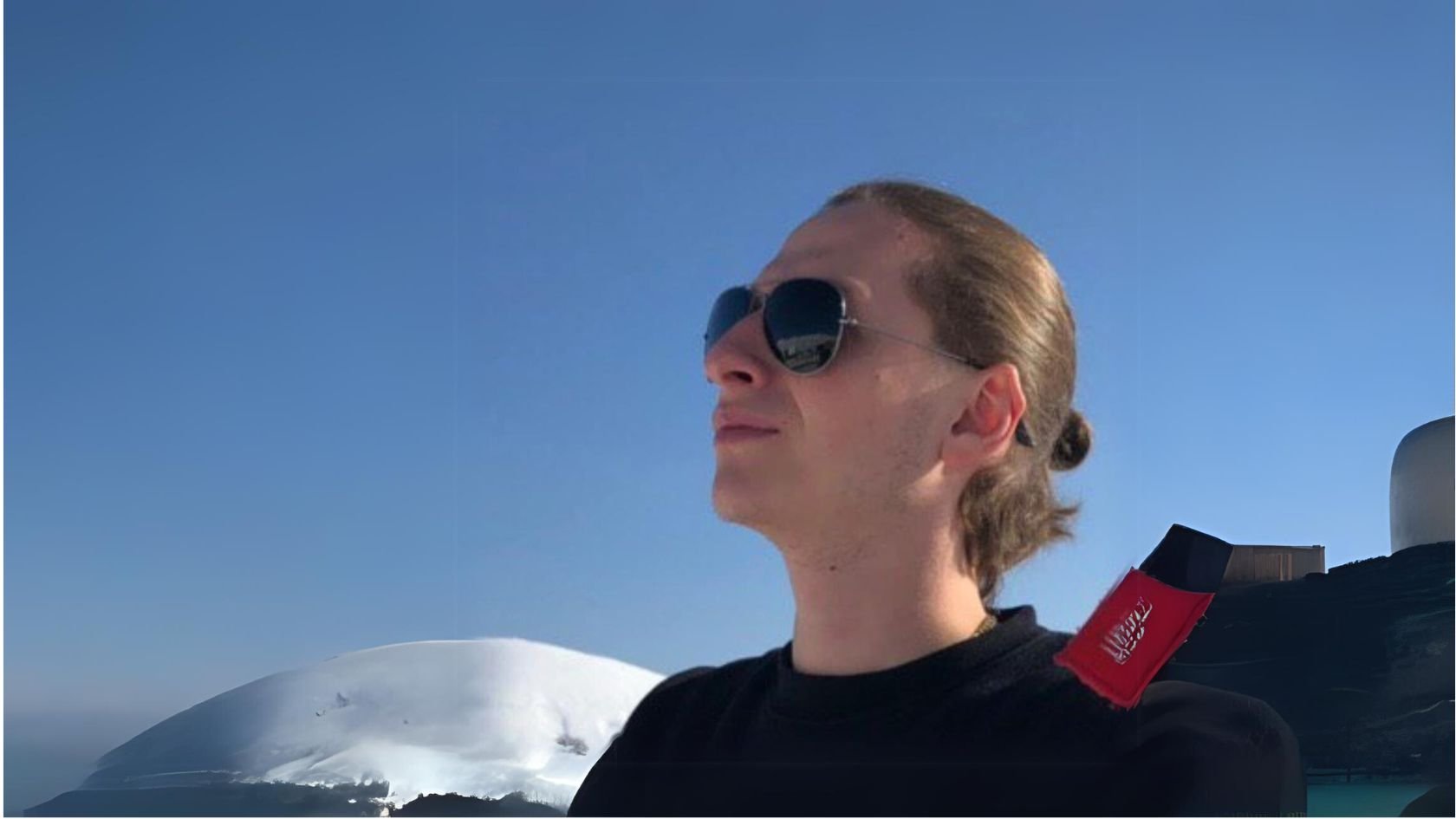
Dmitriy Predein
TOPODRONE, Training lead
Dmitriy Predein is a practicing surveyor with the focus on airborne data collection. He is a training lead at TOPODRONE, a Swiss based designer and manufacturer of high-precision surveying equipment.
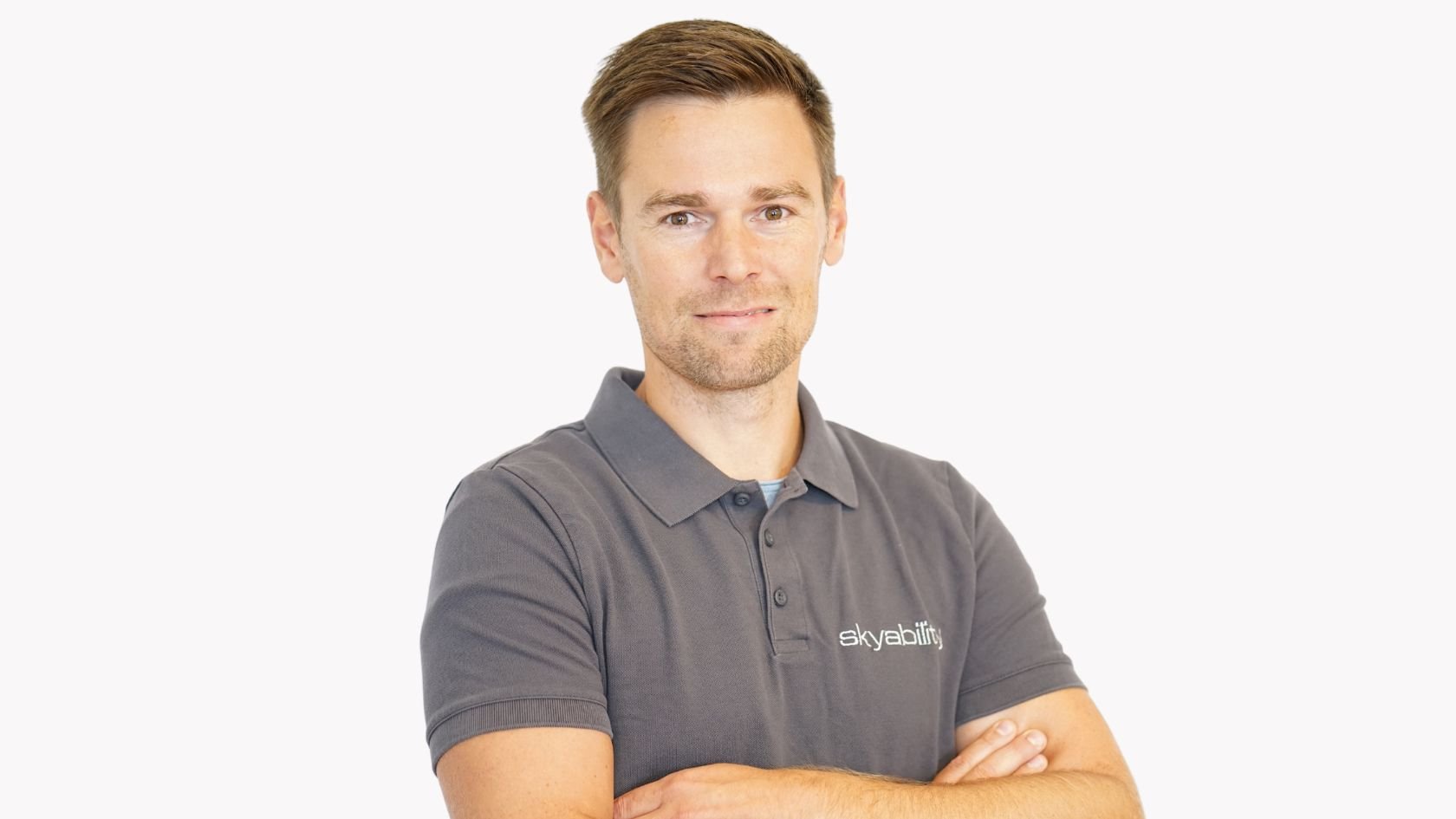
David Monetti
Skyability GmbH, CEO
David Monetti is Chief Executive Officer at Skyability GmbH. Supporting Skyability from Day 1 makes him responsible for LiDAR since 2017. Nowadays using ULS, MLS or TLS becomes to daily routine in the pursuit to creating the best obtainable digital twin. For more than a year now he is also responsible for implementing LiDAR- Bathymetry at Skyability. His experience gleaned in research activities and committed hands-on work turns him into a renowned expert.

Jann Wendt
north.io GmbH, CEO & Marispace-X Initiator
Jann Wendt is a geoinformatician, founder and entrepreneur from Kiel. Through his company north.io, he uses technology to address the issues of climate change, energy transition and digital transformation. He has initiated numerous projects with the German Federal Ministry of Economics and Climate Protection, GEOMAR and the Fraunhofer Institute, among others, focusing on climate change, environmental protection and digital transformation.
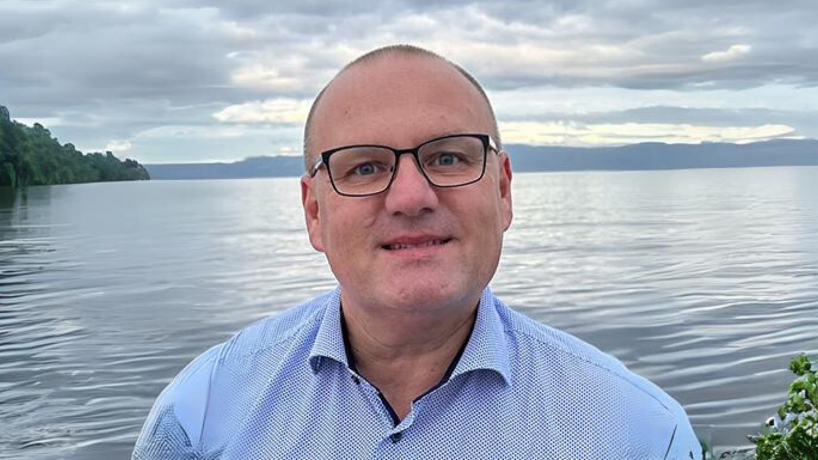
Uni Bull
NORBIT Denmark, Senior Hydrographic Specialist
Uni Bull is Senior Hydrographic Specialist at NORBIT Subsea. He supportsboth NORBIT customers and sales activities globally. Uni Bull comes from a background with the Danish Hydrographic Service where he was in charge of hydrographic survey in both Denmark and Greenland and the Arctic. Since 2011 Uni Bull has worked for multibeam manufacturers, supporting customers and sales around the globe.
WED. 11.10.2023 / 12:00 – 12:15
Maritime Geodata Solutions Panel
UNLOCKING THE POWER OF OCEAN DATA: BOOST OFFSHORE WIND PROJECTS WITH TRUEOCEAN MARINE DATA PLATFORM
In the pursuit of climate protection and renewable energies, offshore wind farms have emerged as a crucial component. However, executing multiple projects simultaneously and adhering to ambitious government targets pose challenges that demand accurate and streamlined ocean data.
TrueOcean Marine Data Platform offers a cloud-based solution designed to revolutionise data management for offshore wind farms. This presentation explores how TrueOcean efficiently organizes and converts diverse ocean data into accessible visual representations, giving a comprehensive overview of the offshore environment through digital maps, dashboards, and reports.
Through TrueOcean, data accessibility and seamless collaboration empower informed decision-making for all project stakeholders, regardless of their expertise level. Its scalable platform ensures enhanced project efficiency, cost reduction, and data security.
The Event
INTERGEO 2023
Berlin welcomes the world's leading geospatial conference, INTERGEO, from October 10-12, 2023. At the INTERGEO STAGES in Halls 1.2, 3.2, and 5.2, visitors can expect a wide range of exhibitors from the geospatial community presenting the latest developments and trends in the industry. The INTERGEO CONFERENCE feature inspiring keynotes, real-time applications and visions for the future in Messe Berlin's Hub27.

Sign up Now for Free & Watch the Live Stream
Simply enter your details for exclusive access
Sign Me Up!